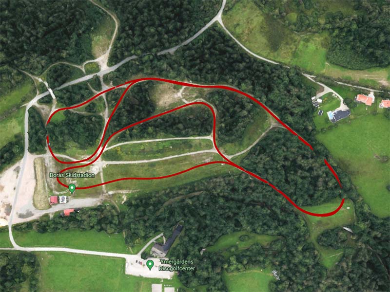
Our guide module measure its position through a digital 3-dimensional GPS-based coordinate system that offers an average position accuracy of 10 cm in the majority of Sweden. In optimal environments, the system can reach an accuracy of 1 cm.
For competitions or land surveys
This enables our product to be used for 3D measuring race courses and ski tracks at high profile sports events. To measure inclines at ski slopes and hilly terrains, for positioning of objects and land borders, to verify that terrain standards are met at competitions etc. Whereever you need to measure difference in positioning or to position something on a map with high accuracy.
A high precision 3 dimensional digital path along a ski and running track